Skip to content
.
.

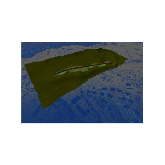
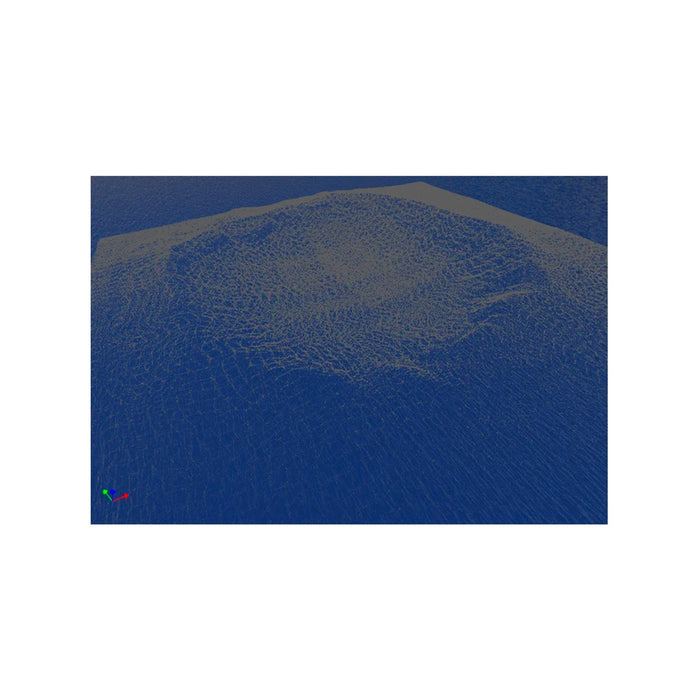
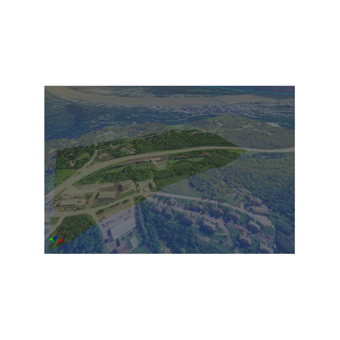
Carlson Precision 3D Topo Software

Stock Code: 1917.003.001
Original price $0.01 - Original price $0.01
Original price
$0.01 Excl. GST
Current price

To request a demo or discuss the best software options for you and your team, call us today!

Carlson’s Precision 3D Topo is a program for 3D editing of digital terrain models (DTMs) that provides an array of tools to locate and correct DTM errors, all in a sharp 3D interface.
Surveyors, contractors and engineers alike can use the software to make sure the final DTM surface is of the highest quality. Multiple dos and undos allow the study of changes to make things perfect.

FEATURES
  • Import Aerial Photogrammetry and/or Lidar
  • File Formats: LAS, LAZ, PTS, E57, XYZ, PLY, PCD
  • Load multiple files at once with automated merging, filtering
  • Easy Pointcloud Editing: Merge, Crop, Delete by polyline
  • Powerful Point filters: Thinning, Bare ground, Outlier, Shadow Points
  • Save/Export Surface
  • Carlson TIN
  • LandXML
  • TTN
  • TN3